


Sturnenboden
 |
CH (GR), 9.5969°E, 46.9437°N | |||
 |
1340 m |  |
CH-GR-1340 | |
 |
Valzeina, 1126m, 2km | |||
 |
Zizers, 561m, 6km | |||
 |
||||
 |


")
| |||
 |
paved road over Valzeina, forest gravel road with regular slope on Zizers' side (track for the last hectometres under the crest) | |||
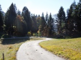
Sturnenboden near the Mittagplatte | ||||