


Safierjoch
 |
CH (GR), 9.266°E, 46.5797°N | |||
 |
2486 m |  |
CH-GR-2486 | |
 |
Splügen, 1457m | |||
 |
Thalkirch, 1686m | |||
 |
 |
 | ||
 |


| |||
 |
(not yet translated into English:) très beau mais long, plus facile du côté sud | |||
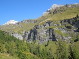
Stutzbach valley above Splügen, wiht the Wisshorn and Teurihorn mountains | ||||
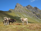
Heifers at Safierberg, with the Chracha mountain crest in the background | ||||
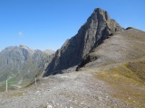
Chracha and furthe left Piz Mellen (Gelbhorn) as seen from Safierberg | ||||
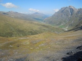
The Safiental valley from Safienberg, with the summits Tällihorn, Güner Horn and Piz Mellen together with Schwarzhorn | ||||