


Col du Mont Tendre
 |
CH (VD), 6.3195°E, 46.6018°N | |||
 |
1625 m |  |
CH-VD-1625 | |
 |
Pré de l'Haut, 1292m, 4km | |||
 |
Montricher, 752m, 11km | |||
 |


")
| |||
 |
(not yet translated into English:) chemin et sentier en grande partie cyclable au nord, route étroite au sud | |||
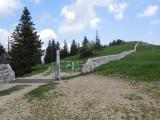
Mont Tendre pass with dry stone walls | ||||
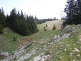
At the Mont Tendre pass, south side | ||||
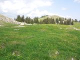
Col du Mont Tendre | ||||