
 MTB Tour Sargans - Palfris - Malun - Sargans (6 October 2012)
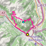 |
41 km |
| 1398 m ^ | |
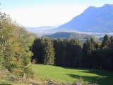 |
View from Malanser Holz over the Rhine valley and towards Liechtenstein 06-10-2012 10:18 9.4633°E, 47.0900°N, 940m |
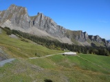 |
Alp Labria and the Gauschla summit 06-10-2012 11:26 9.4272°E, 47.0856°N, 1650m |
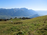 |
The Rhine valley and the Lichtenstein mountains as seen from Chamm 06-10-2012 11:34 9.4244°E, 47.0856°N, 1712m |
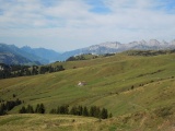 |
Palfris and the Churfirsten 06-10-2012 11:38 9.4189°E, 47.0897°N, 1710m |
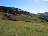 |
Palfris 06-10-2012 12:11 9.4153°E, 47.0931°N, 1690m |
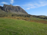 |
Palfris and l'Alvier 06-10-2012 12:18 9.3989°E, 47.0978°N, 1660m |
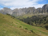 |
The high valley of Malun dominated by the mountain chain from Gamsberg to Chrummenstein 06-10-2012 12:25 9.3889°E, 47.1022°N, 1700m |
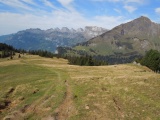 |
Sichelchamm and Churfirsten as seen from Älpli 06-10-2012 12:28 9.3864°E, 47.1036°N, 1680m |
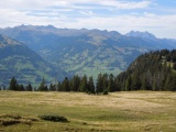 |
View from Älpli towards Flumserberg, with Mürtschenstock behind on the right hand side 06-10-2012 12:28 9.3864°E, 47.1036°N, 1680m |
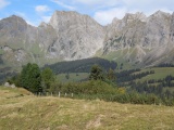 |
Malun and Gamsberg 06-10-2012 12:28 9.3864°E, 47.1036°N, 1680m |
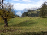 |
The lake of Walenstadt as seen from Gastilun 06-10-2012 12:37 9.3778°E, 47.1097°N, 1510m |
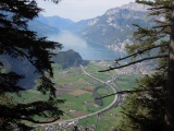 |
Walenstadt and its lake as seen from the road climbing from Berschis to Malun 06-10-2012 12:58 9.3675°E, 47.1058°N, 1240m |